
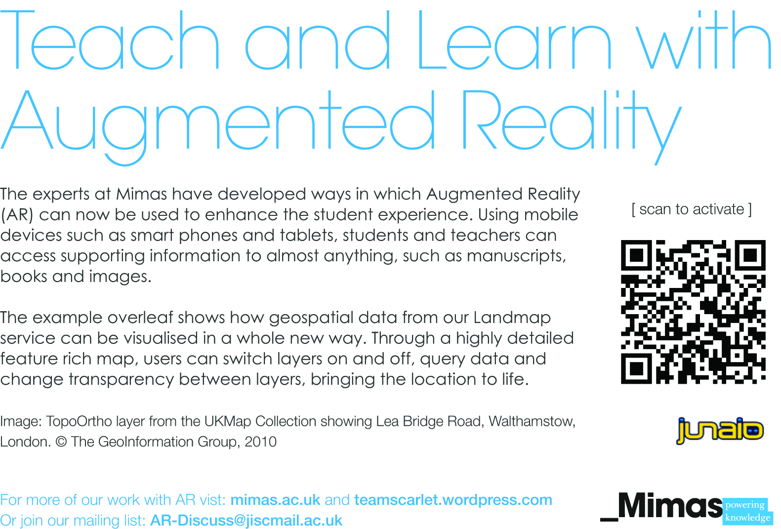
It is my pleasure to announce that the geospatial AR channel developed in conjunction with Landmap is now live. It allows the user to visualise this data in a whole new way. Through a highly detailed feature rich map, users can switch between different map layers and manipulate 3D models to bring the location to life.
Added functionality enables the user to:
- Freeze the tracking to take a snapshot of the layer
- Activate gestures to rotate, scale and move the layer
- Make the layer transparent to see how it fits on the printed base layer
- Displays information about different parts of the interface
To access the channel simply open Junaio and scan the map image or scan the QR code below. Follow the instructions to uncover the content by holding your device over the satellite image. For maximum functionality the content is best viewed on a tablet device although smartphones will still display the models and key correctly.
The new channel will be showcased as part of the National Science and Engineering Week 2013 and we welcome any feedback you may have.
Pingback: Geospatial AR | SCARLET (Special Collections using Augmented Reality to Enhance Learning and Teaching)